Access Roads;
Major Roads;
Roads;
Seismic Lines;
Trails;
Winter Roads.
A spatial join was required to measure the linear density (km/km2) for each sub unit. Therefore, the attributes table of the layer with the 24 sub units "nypr_lmu_mar08" was joined to the attributes table of the linear features "layer nypr_linear_features_50k". The window below shows the options that were selected to join these two tables.

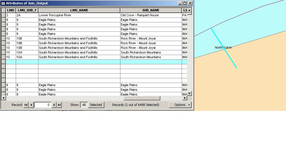
The majority of the linear features are now associated with a sub unit, which will facilitate the linear density calculation. However, some features are not associated with any sub unit in the table, despite them being located within a sub unit when selected. I suspect that when a linear feature crosses a sub unit boundary the table cannot compute where the feature is located since it is present in more than one sub unit. The image below shows an access road that crosses the "Rock River - Mount Joyal" and the "South Richardson Mountains" sub unit border. It will be interesting to see whether or not it is possible to cut these features along borders in order to get an accurate measurement of linear features for every sub unit.
A table has been created for the analysis (see image below). The total length of each of the 6 linear features will need to be measured for each sub unit.

No comments:
Post a Comment